The Calmiríë Chthonic Railway

It’s been a while since I gave you folks a map, so here, I’m giving you folks a map:

[map of the Calmiríë Chthonic Railway]
Click through for full-size version.

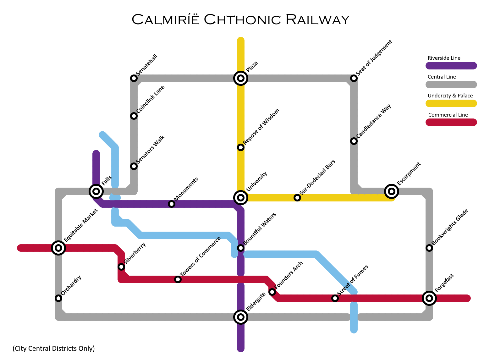
Should you find yourself needing to find a way around the central region of the capital, this should come in rather handy.


On another note, and one less relevant to writing, our 3D printer here at Chez Author chose this last week to break on us, and since it’s a fairly key part of our business that funds, y’know, mortgages and other key writing supplies, we’re gonna need another one. And in this highly inopportune time of economic and coronavirus brouhaha, this means that I am once more resorting to shameless blegging.

So please, if you can, toss a coin to your author. And if you can’t, please reshare. Every tiny bit helps!

(Hell, I may even throw in a 3D-printed esteyn by way of thanks.)

Notable Replies

  1. It seems images don’t come through the automated Discourse.

    I presume ‘Falls’ wouldn’t be the original Drowning waterfalls, if only because the capital was (iirc) constructed a considerable time later. But the existence of waterfalls, and the fact that the capital is build into a mountain, make me wonder if the transit system is above ground, below ground, or a mixture of the two weaving in and our of the local landscape?

  2. You do RC. The Drowning’s falls were the falls of the Falthrang, in Leiri, up in the Silver Crescent. (Or Leirin, to be more specific, land of granite, snow, mead, leather, dueling scars, and inadvisably applied alchemy [see also: mead].)

    Calmiríë’s (wider, due to multiple streams, but considerably less high) falls are those of the Maethevel, originating from higher up the mountain.

    But anyway. In the older parts of the city (and, of course, all of the Undercity), the system is almost all underground, hence the name, due to the difficulty of building it with all the existing city in the way. There are many and various above-ground (often very much above rather than merely on ground) segments in the newer, outer districts, though.

  3. Are these just the high-volume lines? Seems a little simple for the capital of capitals, unless of course everyone just uses self-driving cars.

    And as a side question, I don’t recall but have you ever described the other side of Eliera? All the descriptions I remember focus on only one side and the edge.

  4. Note the note in the bottom-left corner of the map. This is just the most central part of a much larger system.

Continue the discussion at eldraeverse.discourse.group

Participants

Avatar for avatar Avatar for Morgrim Avatar for Maximilian_Crichton